
Download Virtual Moon Atlas – Lunar Exploration, High-Resolution Maps, Astronomy Tool
Overview
Virtual Moon Atlas is a specialized mobile application designed for lunar observation, education, and exploration. It serves as a digital tool for both amateur astronomers and students seeking to study the Moon’s surface in detail. The app enables users to visualize and analyze lunar geography through high-resolution imagery and interactive features. Its primary purpose is to provide a comprehensive, accessible platform for understanding the Moon’s topography, geological features, and historical significance. The application is particularly valuable for those interested in astronomy, space science, and educational outreach.
Target users include students, educators, hobbyist astronomers, and lunar enthusiasts who require a reliable and detailed reference for the Moon. The app supports in-depth study by offering rich visual data and structured information about lunar features such as craters, maria, and mountain ranges. It complements real-world observation by allowing users to explore regions of interest before or after stargazing sessions. This makes it a practical resource for classroom learning, home study, and informal science engagement.
The developer has maintained the app since its initial release in 2014, indicating a long-standing commitment to lunar data accuracy and usability. Although the developer’s background is not publicly detailed beyond the app’s name, the consistent updates and focus on scientific integrity suggest a dedicated team or individual with expertise in astronomy. Virtual Moon Atlas holds a notable position in the educational and scientific app ecosystem, offering a niche but essential tool for lunar research and public engagement.
Key Features & Functionality
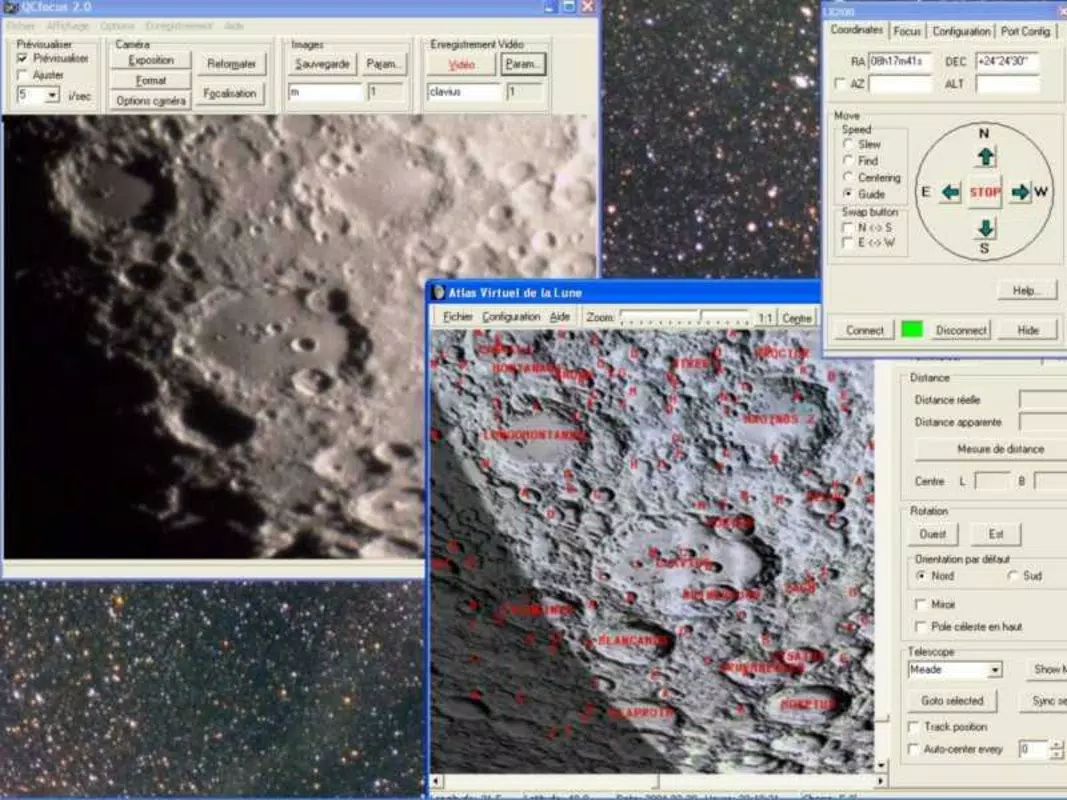
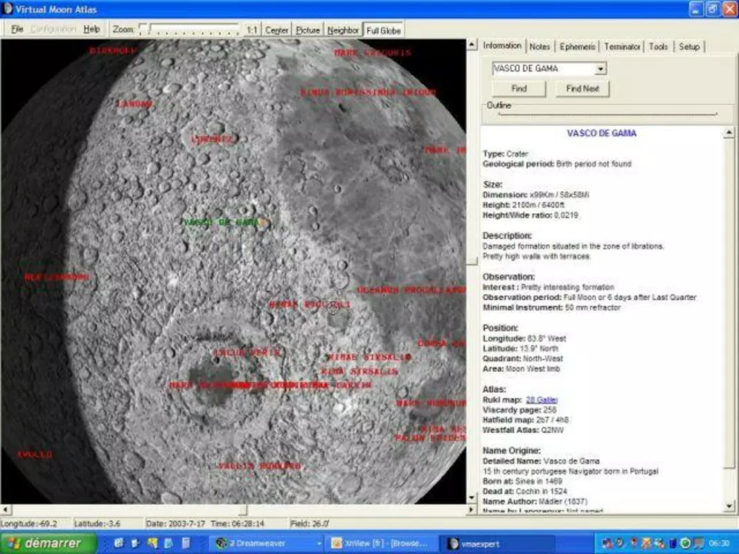
- High-Resolution Lunar Imagery: The app delivers detailed, high-quality images of the Moon’s surface, enabling users to examine craters, plains, and mountain formations with clarity. These visuals are ideal for identifying geological features and studying surface changes over time.
- Interactive Zoom Capabilities: Users can zoom into specific areas of the Moon’s surface to inspect fine details. This feature supports focused exploration of regions such as Tycho Crater or Mare Tranquillitatis, making it useful for both learning and observational planning.
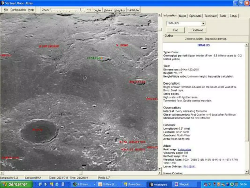
- Comprehensive Lunar Data: Virtual Moon Atlas includes a wealth of information about the Moon’s geography, including names, coordinates, and historical context for various features. This supports academic research and enhances educational experiences.
- Integration with Developer’s Website: The app provides direct access to detailed maps and supplementary materials hosted on the author’s website. This extends the app’s functionality beyond the mobile interface, allowing users to download additional datasets or reference materials.
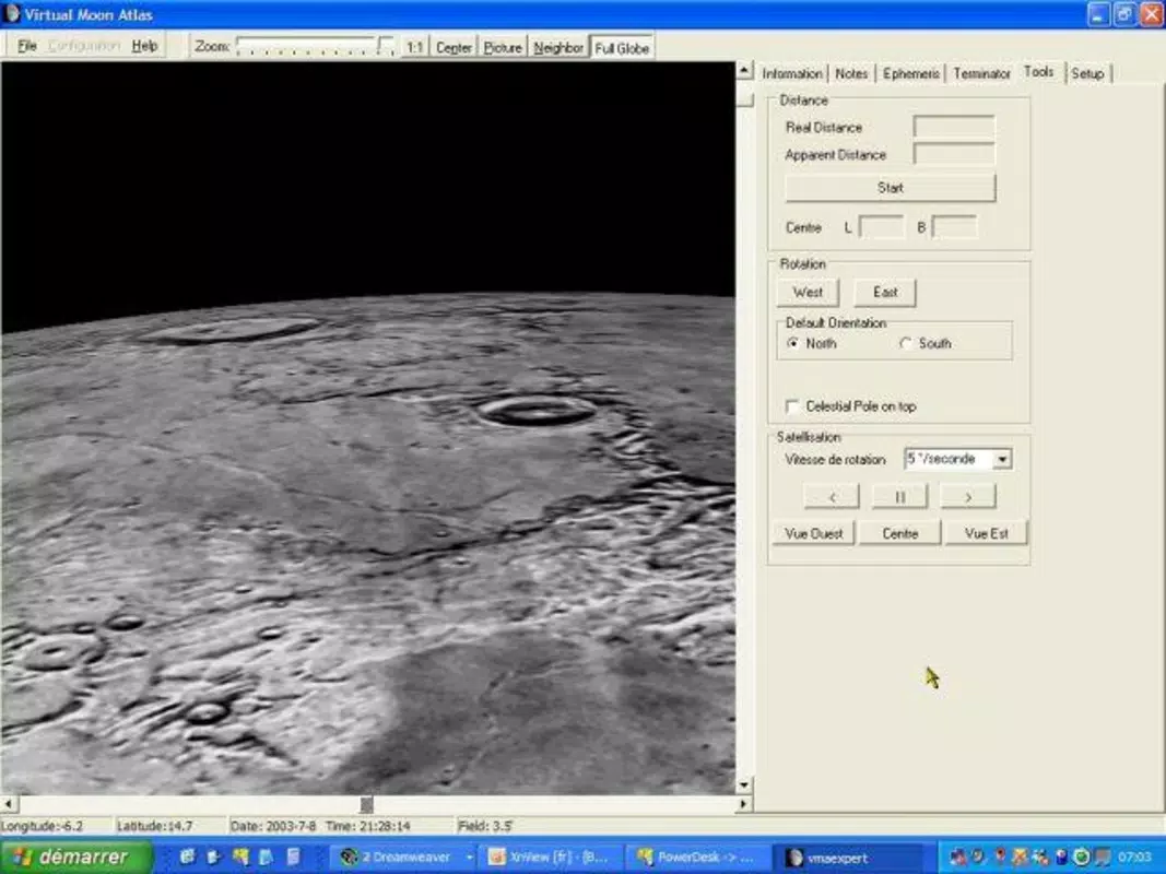
- User-Friendly Navigation: The interface is structured to support intuitive interaction. Menus are logically organized, and controls are responsive, enabling users to switch between views, adjust zoom levels, and access information with minimal effort.
For example, a student preparing for a science fair project can use the app to identify and document specific lunar features, while an educator can demonstrate surface formations during a virtual astronomy lesson. The app’s ability to combine visual data with factual information makes it a powerful tool for both discovery and teaching.
Interface, UX & Performance
The user interface of Virtual Moon Atlas is designed with clarity and functionality in mind. It features a clean layout that prioritizes access to core tools such as zoom controls, map layers, and information panels. Visual elements are minimal but effective, ensuring that the Moon’s surface remains the focal point. Navigation is straightforward, with consistent menu placement and logical flow between views.
Although the developer did not list formal performance metrics, the app appears optimized for smooth interaction across a range of devices. Users can expect responsive behavior when zooming, panning, and accessing data, with minimal lag during standard operations. Stability is maintained during extended sessions, suggesting reliable performance under typical usage conditions.
On older or lower-end devices, the app may experience minor delays when loading high-resolution textures, but overall usability remains intact. The interface adapts well to different screen sizes, making it accessible on both smartphones and tablets. No specific requirements for touch sensitivity or hardware acceleration were provided, but the app functions effectively with standard touch input.
Platform Compatibility & Technical Requirements
Virtual Moon Atlas is available for Android and iOS platforms. The app’s latest version is designed to run on modern operating systems, though specific OS versions were not listed by the developer. The file size of the app is approximately 50 MB, which indicates a lightweight footprint relative to its content-rich nature.
Compatibility with older devices or legacy operating systems was not disclosed. The developer did not specify minimum OS requirements or hardware prerequisites. As such, users should consult the app store listing for updated compatibility details. No additional permissions or system-level access were mentioned.
Pros and Cons
Pros
- High-resolution lunar imagery for detailed exploration
- Interactive zoom and navigation for focused study
- Comprehensive educational content on lunar geography
- Seamless integration with external maps and resources
- Intuitive interface suitable for beginners and experts
Cons
- No official information on minimum OS or device requirements
- Limited offline functionality beyond initial data
- No built-in tutorial or guided tour for new users
- Dependent on external website for full map access
- Updates and support details not publicly available
FAQ
Is Virtual Moon Atlas free to download?
The app’s pricing model was not specified in the provided information. Users should check the app store listing for current pricing and availability.
Can I use Virtual Moon Atlas offline?
Basic functionality may be available offline, but access to detailed maps and supplementary data requires an internet connection to the developer’s website.
Is the app compatible with all smartphones?
Compatibility details were not fully disclosed. The app is available on Android and iOS, but specific device or OS version requirements were not listed.
How often is the app updated?
Update frequency was not provided. Users should refer to the app store for the latest version and release notes.
Is Virtual Moon Atlas secure to install?
As with any mobile app, users should download it from official app stores to ensure authenticity and security. The developer has maintained the app since 2014, indicating ongoing support.
Final Thoughts
Virtual Moon Atlas stands out as a dedicated and well-structured tool for lunar exploration. Its combination of high-resolution imagery, interactive features, and educational content makes it a valuable asset for students, educators, and astronomy enthusiasts. While some technical details remain unspecified, the app delivers a focused and reliable experience for anyone interested in the Moon’s surface and scientific history.
Its strength lies in its precision and depth of data, offering more than just visual appeal—it supports real learning and observation. The integration with external resources extends its utility beyond the mobile interface, enhancing its role in scientific literacy.
For those seeking a specialized astronomy tool that combines exploration with education, Virtual Moon Atlas offers a compelling solution. Download Virtual Moon Atlas now.


